IMAGES TAKEN NEAR TO
Saxilby Road, MELTON MOWBRAY, LE14 3AS
Introduction
This page details the photographs taken nearby to Saxilby Road, LE14 3AS by members of the Geograph project.
The Geograph project started in 2005 with the aim of publishing, organising and preserving representative images for every square kilometre of Great Britain, Ireland and the Isle of Man.

There are currently over 7.5m images from over14,400 individuals and you can help contribute to the project by visiting https://www.geograph.org.uk
Image Map
Images are licensed for reuse under creativecommons.org/licenses/by-sa/2.0
Notes
- Clicking on the map will re-center to the selected point.
- The higher the marker number, the further away the image location is from the centre of the postcode.
Image Listing (7 Images Found)
Images are licensed for reuse under creativecommons.org/licenses/by-sa/2.0
Image
Details
Distance
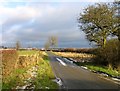
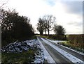
1
The road from Saxelbye to Ab Kettleby
At 'Ashlands', looking north-east.
Image: © Alan Murray-Rust
Taken: 11 Apr 2015
0.02 miles
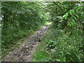
4
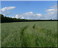
Grassland near Glebe Farm
The trees mark the route of a footpath.
Image: © Mat Fascione
Taken: 30 Jun 2012
0.18 miles
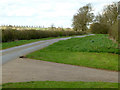
6
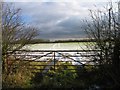
Gate and field
The trees in the distance mark the line of a well defined track or footpath.
Image: © Andrew Tatlow
Taken: 2 Dec 2008
0.24 miles