IMAGES TAKEN NEAR TO
Wallis Close, MELTON MOWBRAY, LE13 1EA
Introduction
This page details the photographs taken nearby to Wallis Close, LE13 1EA by members of the Geograph project.
The Geograph project started in 2005 with the aim of publishing, organising and preserving representative images for every square kilometre of Great Britain, Ireland and the Isle of Man.

There are currently over 7.5m images from over14,400 individuals and you can help contribute to the project by visiting https://www.geograph.org.uk
Image Map (Loading...)


Getting Data...Please wait
Leaflet Map data © OpenStreetMap
Images are licensed for reuse under creativecommons.org/licenses/by-sa/2.0
Notes
- Clicking on the map will re-center to the selected point.
- The higher the marker number, the further away the image location is from the centre of the postcode.
Image Listing (304 Images Found)
Images are licensed for reuse under creativecommons.org/licenses/by-sa/2.0
Image
Details
Distance
3
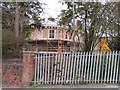
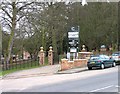
A glimpse of Craven Lodge
Craven Lodge is being converted for residential use.
Image: © Andrew Tatlow
Taken: 21 Feb 2012
0.06 miles
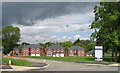
6
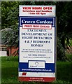
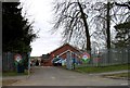
Entrance to Craven Court
The original Craven Lodge is being converted for residential use and new houses are being built in the grounds.
Image: © Andrew Tatlow
Taken: 21 Feb 2012
0.08 miles
9
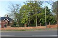
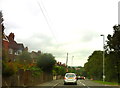
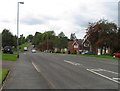
Burton Road, Melton Mowbray
This is a big front garden.
Image: © David Howard
Taken: 8 May 2022
0.09 miles