IMAGES TAKEN NEAR TO
Lincoln Drive, MELTON MOWBRAY, LE13 0AH
Introduction
This page details the photographs taken nearby to Lincoln Drive, LE13 0AH by members of the Geograph project.
The Geograph project started in 2005 with the aim of publishing, organising and preserving representative images for every square kilometre of Great Britain, Ireland and the Isle of Man.

There are currently over 7.5m images from over14,400 individuals and you can help contribute to the project by visiting https://www.geograph.org.uk
Image Map (Loading...)


Getting Data...Please wait
Leaflet Map data © OpenStreetMap
Images are licensed for reuse under creativecommons.org/licenses/by-sa/2.0
Notes
- Clicking on the map will re-center to the selected point.
- The higher the marker number, the further away the image location is from the centre of the postcode.
Image Listing (64 Images Found)
Images are licensed for reuse under creativecommons.org/licenses/by-sa/2.0
Image
Details
Distance
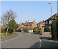
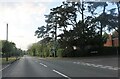
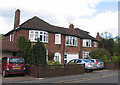
4
Approach to the site of Sarson School from Burton Road
This driveway was originally the approach to the Sarson High School which was merged with King Edwards VII school in the 1990s.
Image: © Andrew Tatlow
Taken: 15 Nov 2010
0.10 miles
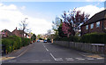
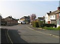
7
Suffolk Close, Melton Mowbray
At the junction with Burton Road.
Image: © David Howard
Taken: 8 May 2022
0.12 miles
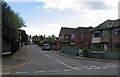
8
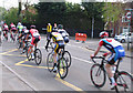
The tail end of CiCLE Classic 2015 bicycle race
Image: © Andrew Tatlow
Taken: 26 Apr 2015
0.12 miles
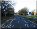
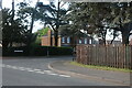
10
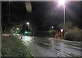
Burton Road/Gloucester Avenue junction at night
Image: © Andrew Tatlow
Taken: 2 Mar 2019
0.13 miles