IMAGES TAKEN NEAR TO
Hall Croft, LOUGHBOROUGH, LE12 9GG
Introduction
This page details the photographs taken nearby to Hall Croft, LE12 9GG by members of the Geograph project.
The Geograph project started in 2005 with the aim of publishing, organising and preserving representative images for every square kilometre of Great Britain, Ireland and the Isle of Man.

There are currently over 7.5m images from over14,400 individuals and you can help contribute to the project by visiting https://www.geograph.org.uk
Image Map (39 Images)


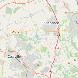
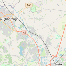

Leaflet Map data © OpenStreetMap
Images are licensed for reuse under creativecommons.org/licenses/by-sa/2.0
Notes
- Clicking on the map will re-center to the selected point.
- The higher the marker number, the further away the image location is from the centre of the postcode.
Image Listing (39 Images Found)
Images are licensed for reuse under creativecommons.org/licenses/by-sa/2.0
Image
Details
Distance
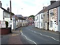
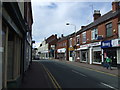
1
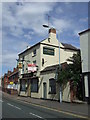
The Britannia Inn, Britannia Street, Shepshed
Image: © JThomas
Taken: 4 Aug 2012
0.03 miles
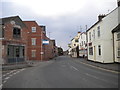
5
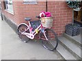
Advertising bike in Field Street, Shepshed
Outside the "Through the Looking Glass Boutique" gift and coffee shop.
Image: © Oliver Dixon
Taken: 21 Jul 2018
0.05 miles
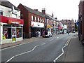
8

Former bank building, Shepshed, parapet and chimney
Image: © Alan Murray-Rust
Taken: 15 May 2016
0.07 miles
9
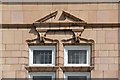
Former bank building, Shepshed, window detail
Image: © Alan Murray-Rust
Taken: 15 May 2016
0.08 miles
10

Former bank building, Shepshed, window detail
Image: © Alan Murray-Rust
Taken: 15 May 2016
0.08 miles