IMAGES TAKEN NEAR TO
Mardale Way, LOUGHBOROUGH, LE11 3SR
Introduction
This page details the photographs taken nearby to Mardale Way, LE11 3SR by members of the Geograph project.
The Geograph project started in 2005 with the aim of publishing, organising and preserving representative images for every square kilometre of Great Britain, Ireland and the Isle of Man.

There are currently over 7.5m images from over14,400 individuals and you can help contribute to the project by visiting https://www.geograph.org.uk
Image Map (Loading...)


Getting Data...Please wait
Leaflet Map data © OpenStreetMap
Images are licensed for reuse under creativecommons.org/licenses/by-sa/2.0
Notes
- Clicking on the map will re-center to the selected point.
- The higher the marker number, the further away the image location is from the centre of the postcode.
Image Listing (23 Images Found)
Images are licensed for reuse under creativecommons.org/licenses/by-sa/2.0
Image
Details
Distance
4
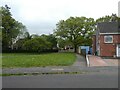
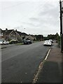
Derwent Drive, Loughborough
A residential road just south of the university campus
Image: © David Smith
Taken: 26 Aug 2017
0.12 miles
6
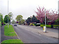
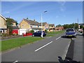
Forest Road, Loughborough
Taken at the junction with Thirlmere Drive (which is just off to the right), looking south-west towards Nanpantan.
Image: © Alex Cameron
Taken: 7 May 2006
0.15 miles

8
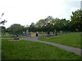
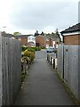
Playground, Kirkstone Drive, Loughborough
Image: © David Smith
Taken: 1 May 2022
0.16 miles
10
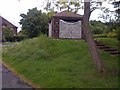
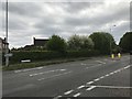
Wooden Shelter
At the junction of Nanpantan Road and Valley Road.
Image: © Mick Garratt
Taken: 22 May 2014
0.16 miles