IMAGES TAKEN NEAR TO
Lance Close, HINCKLEY, LE10 2NT
Introduction
This page details the photographs taken nearby to Lance Close, LE10 2NT by members of the Geograph project.
The Geograph project started in 2005 with the aim of publishing, organising and preserving representative images for every square kilometre of Great Britain, Ireland and the Isle of Man.

There are currently over 7.5m images from over14,400 individuals and you can help contribute to the project by visiting https://www.geograph.org.uk
Image Map
Images are licensed for reuse under creativecommons.org/licenses/by-sa/2.0
Notes
- Clicking on the map will re-center to the selected point.
- The higher the marker number, the further away the image location is from the centre of the postcode.
Image Listing (15 Images Found)
Images are licensed for reuse under creativecommons.org/licenses/by-sa/2.0
Image
Details
Distance
1
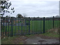
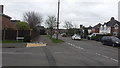
Entrance gate, Sketchley Hill Primary School
Image: © JThomas
Taken: 25 Feb 2017
0.04 miles
2
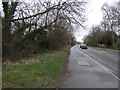
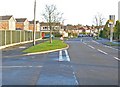
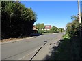
Rugby Road (B4109)
Looking south east near Sketchley Hill Primary School.
Image: © JThomas
Taken: 25 Feb 2017
0.06 miles
3
Sketchley Road in Burbage, Leicestershire
At its corner with Azalea Drive.
Image: © Mat Fascione
Taken: 12 Jan 2008
0.12 miles
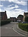
4
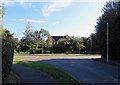
Road to Burbage
Azeala Drive meets the road to Burbage.
Image: © Peter Mackenzie
Taken: 21 Feb 2017
0.15 miles
6
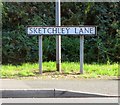
Sketchley Lane sign opposite the end of Sketchley Manor Lane
Image: © Andrew Tatlow
Taken: 27 Sep 2018
0.18 miles
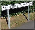
7
Sketchley Lane/Sketchley Manor Lane junction from west
Image: © Andrew Tatlow
Taken: 27 Sep 2018
0.19 miles
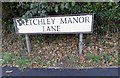
8
Sketchley Manor Lane/Sketchley Lane junction
Image: © Andrew Tatlow
Taken: 27 Sep 2018
0.19 miles