IMAGES TAKEN NEAR TO
LLANDRINDOD WELLS, LD1 5PF
Introduction
This page details the photographs taken nearby to LD1 5PF by members of the Geograph project.
The Geograph project started in 2005 with the aim of publishing, organising and preserving representative images for every square kilometre of Great Britain, Ireland and the Isle of Man.

There are currently over 7.5m images from over14,400 individuals and you can help contribute to the project by visiting https://www.geograph.org.uk
Image Map
Images are licensed for reuse under creativecommons.org/licenses/by-sa/2.0
Notes
- Clicking on the map will re-center to the selected point.
- The higher the marker number, the further away the image location is from the centre of the postcode.
Image Listing (28 Images Found)
Images are licensed for reuse under creativecommons.org/licenses/by-sa/2.0
Image
Details
Distance
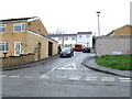
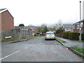
1
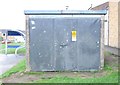
Electricity Substation No 612941 - The Rise
Image: © Betty Longbottom
Taken: 8 May 2013
0.13 miles
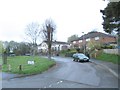
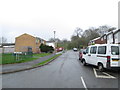
9
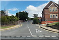
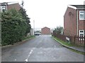
Quarry Lane, Llandrindod Wells
Quarry Lane ascends eastwards away from the A483. A telephone exchange http://www.geograph.org.uk/photo/3581072 is on the left. Llandrindod Wells Hospital http://www.geograph.org.uk/photo/3543227 is on the right.
Image: © Jaggery
Taken: 28 Jul 2013
0.17 miles