
IMAGES TAKEN NEAR TO
Grassgarth Lane, KENDAL, LA8 9QF
Introduction
This page details the photographs taken nearby to Grassgarth Lane, LA8 9QF by members of the Geograph project.
The Geograph project started in 2005 with the aim of publishing, organising and preserving representative images for every square kilometre of Great Britain, Ireland and the Isle of Man.

There are currently over 7.5m images from over14,400 individuals and you can help contribute to the project by visiting https://www.geograph.org.uk
Image Map
Images are licensed for reuse under creativecommons.org/licenses/by-sa/2.0
Notes
- Clicking on the map will re-center to the selected point.
- The higher the marker number, the further away the image location is from the centre of the postcode.
Image Listing (18 Images Found)
Images are licensed for reuse under creativecommons.org/licenses/by-sa/2.0
Image
Details
Distance
1
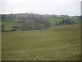
Above Ings
Looking towards the Caravan Park above Hill Farm
Image: © Michael Graham
Taken: 25 Jan 2010
0.13 miles
2
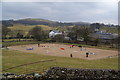
Equestrian centre at Hill Farm
One of the farms on the edge of Ings
Image: © Bill Boaden
Taken: 18 Mar 2013
0.13 miles
3

Evening sunlight, Grassgarth Lane, near Ings
Image: © Richard Swales
Taken: 8 Apr 2006
0.16 miles
4
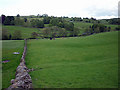
Pastures near Hill Farm
Note the small static caravan site in trees on the right.
Image: © Karl and Ali
Taken: 22 May 2011
0.16 miles
6
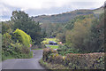
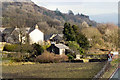
Hugill : Country Lane
Looking across a small country lane.
Image: © Lewis Clarke
Taken: 25 Sep 2019
0.17 miles
7
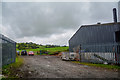
Hugill : Farm Buildings
Farm buildings seen off the lane.
Image: © Lewis Clarke
Taken: 25 Sep 2019
0.18 miles
8
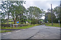
Ings : Grassgarth Lane
A road off the A591.
Image: © Lewis Clarke
Taken: 25 Sep 2019
0.19 miles
9
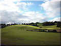
Recently-cut grassland, Ings
Cattle were grazing the leftovers.
Image: © Karl and Ali
Taken: 27 Jul 2010
0.19 miles
10
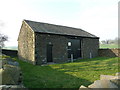
Ings Water Pumping Station northwest of Hill Farm
Image: © Alexander P Kapp
Taken: 22 Mar 2012
0.19 miles