
IMAGES TAKEN NEAR TO
Athol Street, BARROW-IN-FURNESS, LA14 2QT
Introduction
This page details the photographs taken nearby to Athol Street, LA14 2QT by members of the Geograph project.
The Geograph project started in 2005 with the aim of publishing, organising and preserving representative images for every square kilometre of Great Britain, Ireland and the Isle of Man.

There are currently over 7.5m images from over14,400 individuals and you can help contribute to the project by visiting https://www.geograph.org.uk
Image Map
Images are licensed for reuse under creativecommons.org/licenses/by-sa/2.0
Notes
- Clicking on the map will re-center to the selected point.
- The higher the marker number, the further away the image location is from the centre of the postcode.
Image Listing (44 Images Found)
Images are licensed for reuse under creativecommons.org/licenses/by-sa/2.0
Image
Details
Distance
1
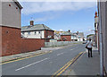
Rothesay Street Barrow Island
One of the streets of the 1916 housing development on former farmland. The crane in the centre of the picture is the giant crane at Buccleuch Dock http://www.geograph.org.uk/photo/158316
Image: © Dennis Turner
Taken: 11 Jul 2009
0.07 miles
2
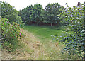
Cavendish Park Barrow Island
The grassed area running diagonally across the photograph is the site of the former single track railway branch line which separated the east and west sides of Island Road. The railway brought workers from the surrounding area to work in the shipbuilding and associated engineering works in Barrow.
Image: © Dennis Turner
Taken: 11 Jul 2009
0.07 miles
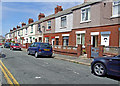
4
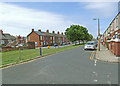
Island Road Barrow Island
The grassed area running diagonally across the photograph is the site of the former single track railway branch line which separated the east and west sides of Island Road. The railway brought workers from the surrounding area to work in the shipbuilding and associated engineering works in Barrow.
Image: © Dennis Turner
Taken: 11 Jul 2009
0.07 miles
5
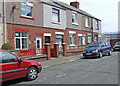
Dunvegan Street Barrow Island
Part of a 1916 housing development on what had previously been farmland.
Image: © Dennis Turner
Taken: 11 Jul 2009
0.07 miles
6
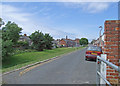
Island Road Barrow Island
The grassed area running diagonally across the photograph is the site of the former single track railway branch line which separated the east and west sides of Island Road. The railway brought workers from the surrounding area to work in the shipbuilding and associated engineering works in Barrow.
Image: © Dennis Turner
Taken: 11 Jul 2009
0.07 miles
7
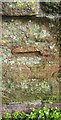
Ordnance Survey Cut Mark
This very worn OS cut mark can be found on the NE parapet of the old railway bridge. It marks a point 13.384m above mean sea level.
Image: © Adrian Dust
Taken: 15 Oct 2019
0.08 miles
9
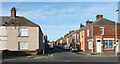
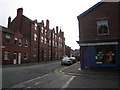
Anchor Road seen from Island Road, Barrow-in-Furness
Image: © habiloid
Taken: 29 May 2023
0.10 miles
10
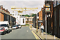
Anchor Road, Barrow Island
Terraced housing for the shipyard workers. The hammerhead crane at Buccleuch Dock is an ever-present reminder of the traditions of the town.
Image: © Alan Murray-Rust
Taken: 25 Jun 2004
0.10 miles