IMAGES TAKEN NEAR TO
Westcombe Road, LIVERPOOL, L4 2UB
Introduction
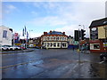
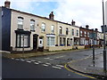
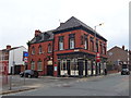
This page details the photographs taken nearby to Westcombe Road, L4 2UB by members of the Geograph project.
The Geograph project started in 2005 with the aim of publishing, organising and preserving representative images for every square kilometre of Great Britain, Ireland and the Isle of Man.

There are currently over 7.5m images from over14,400 individuals and you can help contribute to the project by visiting https://www.geograph.org.uk
Image Map
Images are licensed for reuse under creativecommons.org/licenses/by-sa/2.0
Notes
- Clicking on the map will re-center to the selected point.
- The higher the marker number, the further away the image location is from the centre of the postcode.
Image Listing (9 Images Found)
Images are licensed for reuse under creativecommons.org/licenses/by-sa/2.0
Image
Details
Distance

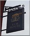
3
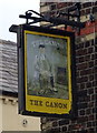
Sign for the Canon public house
See Image] for context.
Image: © JThomas
Taken: 28 Apr 2019
0.12 miles
6
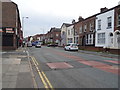
Townsend Lane
Looking south west on the A580.
Image: © JThomas
Taken: 28 Apr 2019
0.17 miles
8
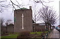
St Columba's, Anfield
Architect Bernard Miller, 1932.
Image: © S Parish
Taken: 26 Feb 2006
0.25 miles