IMAGES TAKEN NEAR TO
Foster Close, PRESCOT, L35 7NW
Introduction
This page details the photographs taken nearby to Foster Close, L35 7NW by members of the Geograph project.
The Geograph project started in 2005 with the aim of publishing, organising and preserving representative images for every square kilometre of Great Britain, Ireland and the Isle of Man.

There are currently over 7.5m images from over14,400 individuals and you can help contribute to the project by visiting https://www.geograph.org.uk
Image Map
Images are licensed for reuse under creativecommons.org/licenses/by-sa/2.0
Notes
- Clicking on the map will re-center to the selected point.
- The higher the marker number, the further away the image location is from the centre of the postcode.
Image Listing (15 Images Found)
Images are licensed for reuse under creativecommons.org/licenses/by-sa/2.0
Image
Details
Distance
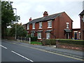
2
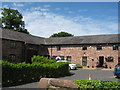
Green's House Farm, Longton Lane
An early 18th century threshing barn and stable or carriage house named as Green's House, originally on Back Lane and not Longton Lane on the 1849 OS map. Built mainly of red brick but with some older sections in coursed rubble sandstone.
Image: © Sue Adair
Taken: 2 Jun 2020
0.15 miles
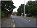
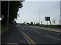
3
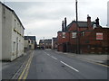
Traffic Calming on Two Butt Lane
Traffic using Two Butt Lane is slowed by a series of chicanes.
Image: © David Dixon
Taken: 21 May 2015
0.17 miles
9
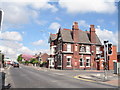
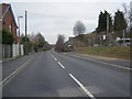
The Holt Hotel
The Holt Hotel on Warrington Road between Whiston and Rainhill.
Image: © Sue Adair
Taken: 29 Apr 2008
0.21 miles