IMAGES TAKEN NEAR TO
Sumner Close, LEATHERHEAD, KT22 9XF
Introduction
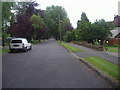
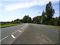
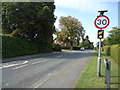
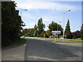
This page details the photographs taken nearby to Sumner Close, KT22 9XF by members of the Geograph project.
The Geograph project started in 2005 with the aim of publishing, organising and preserving representative images for every square kilometre of Great Britain, Ireland and the Isle of Man.

There are currently over 7.5m images from over14,400 individuals and you can help contribute to the project by visiting https://www.geograph.org.uk
Image Map
Images are licensed for reuse under creativecommons.org/licenses/by-sa/2.0
Notes
- Clicking on the map will re-center to the selected point.
- The higher the marker number, the further away the image location is from the centre of the postcode.
Image Listing (11 Images Found)
Images are licensed for reuse under creativecommons.org/licenses/by-sa/2.0
Image
Details
Distance
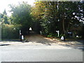
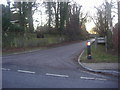
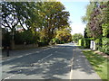
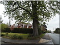
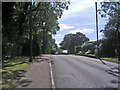
9
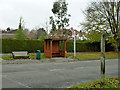
Street furniture, Fetcham
The Ridgeway bus stop on Guildford Road. The finger post at the near right marks the end of a byway called Admiral's Road.
Image: © Robin Webster
Taken: 5 Nov 2011
0.23 miles