IMAGES TAKEN NEAR TO
Dorking Road, TADWORTH, KT20 7NJ
Introduction
This page details the photographs taken nearby to Dorking Road, KT20 7NJ by members of the Geograph project.
The Geograph project started in 2005 with the aim of publishing, organising and preserving representative images for every square kilometre of Great Britain, Ireland and the Isle of Man.

There are currently over 7.5m images from over14,400 individuals and you can help contribute to the project by visiting https://www.geograph.org.uk
Image Map
Images are licensed for reuse under creativecommons.org/licenses/by-sa/2.0
Notes
- Clicking on the map will re-center to the selected point.
- The higher the marker number, the further away the image location is from the centre of the postcode.
Image Listing (42 Images Found)
Images are licensed for reuse under creativecommons.org/licenses/by-sa/2.0
Image
Details
Distance
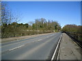
3
The entrance to Hedgecroft on Dorking Road
Image: © David Howard
Taken: 22 Sep 2014
0.09 miles
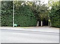
7
Entrance to Pfizer research facility
This grid square has a famous contribution to humanity - Viagra was invented in this very square, which houses the Pfizer pharmaceutical research centre!
Image: © Hywel Williams
Taken: 24 Jun 2005
0.10 miles
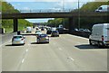
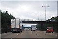
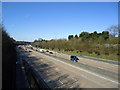
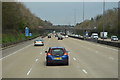
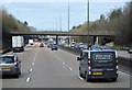
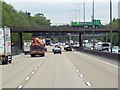
10
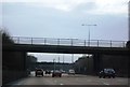
B2032 crosses the M25 near Walton on the Hill
Image: © N Chadwick
Taken: 27 Dec 2010
0.11 miles