IMAGES TAKEN NEAR TO
Lindsay Street, AYR, KA8 9QE
Introduction
This page details the photographs taken nearby to Lindsay Street, KA8 9QE by members of the Geograph project.
The Geograph project started in 2005 with the aim of publishing, organising and preserving representative images for every square kilometre of Great Britain, Ireland and the Isle of Man.

There are currently over 7.5m images from over14,400 individuals and you can help contribute to the project by visiting https://www.geograph.org.uk
Image Map
Images are licensed for reuse under creativecommons.org/licenses/by-sa/2.0
Notes
- Clicking on the map will re-center to the selected point.
- The higher the marker number, the further away the image location is from the centre of the postcode.
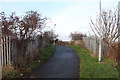
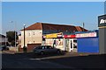
Image Listing (29 Images Found)
Images are licensed for reuse under creativecommons.org/licenses/by-sa/2.0
Image
Details
Distance
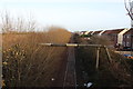
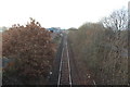
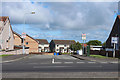
5
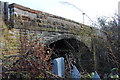
Bridge over Railway, Whitletts
Footpath bridge.
Image: © Billy McCrorie
Taken: 8 Dec 2016
0.14 miles
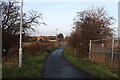
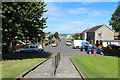
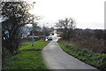
10
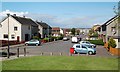
Sloan Street, Ayr
A council housing area in the Whitletts district of Ayr. Viewed from Whitletts Road on a fine May afternoon.
Image: © Mary and Angus Hogg
Taken: 20 May 2009
0.20 miles