IMAGES TAKEN NEAR TO
Beresford Terrace, AYR, KA7 2EP
Introduction
This page details the photographs taken nearby to Beresford Terrace, KA7 2EP by members of the Geograph project.
The Geograph project started in 2005 with the aim of publishing, organising and preserving representative images for every square kilometre of Great Britain, Ireland and the Isle of Man.

There are currently over 7.5m images from over14,400 individuals and you can help contribute to the project by visiting https://www.geograph.org.uk
Image Map
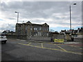
Images are licensed for reuse under creativecommons.org/licenses/by-sa/2.0
Notes
- Clicking on the map will re-center to the selected point.
- The higher the marker number, the further away the image location is from the centre of the postcode.
Image Listing (257 Images Found)
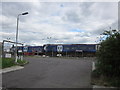
Images are licensed for reuse under creativecommons.org/licenses/by-sa/2.0
Image
Details
Distance
1
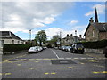
Bellevue Street
From the junction with Beresford terrace.
Image: © Billy McCrorie
Taken: 31 Mar 2012
0.02 miles
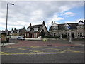
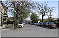
3
Parkhouse Street
Clear message to the town planners in Ayr
Image: © Andy Farrington
Taken: 14 May 2010
0.03 miles
5
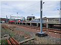
Ayr railway yard
The yard is immediately south of Ayr station.
Image: © Thomas Nugent
Taken: 3 Aug 2018
0.04 miles
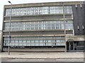
6
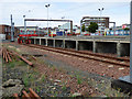
Ayr railway station
The yard is immediately south of Ayr station.
Image: © Thomas Nugent
Taken: 3 Aug 2018
0.04 miles
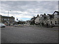
7
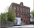
Carrick Road
Unusual wedge shaped building
Image: © Andy Farrington
Taken: 14 May 2010
0.04 miles
9
Grammar School
Sitting between Midton and Carrick Roads.
Image: © Billy McCrorie
Taken: 31 Mar 2012
0.04 miles
10
Railway Sidings
Scotrail Carriages.
Image: © Billy McCrorie
Taken: 31 Mar 2012
0.05 miles