IMAGES TAKEN NEAR TO
Westport, MAUCHLINE, KA5 5QH
Introduction
This page details the photographs taken nearby to Westport, KA5 5QH by members of the Geograph project.
The Geograph project started in 2005 with the aim of publishing, organising and preserving representative images for every square kilometre of Great Britain, Ireland and the Isle of Man.

There are currently over 7.5m images from over14,400 individuals and you can help contribute to the project by visiting https://www.geograph.org.uk
Image Map
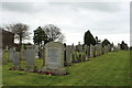
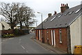
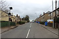
Images are licensed for reuse under creativecommons.org/licenses/by-sa/2.0
Notes
- Clicking on the map will re-center to the selected point.
- The higher the marker number, the further away the image location is from the centre of the postcode.
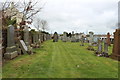
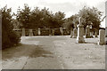
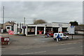
Image Listing (108 Images Found)
Images are licensed for reuse under creativecommons.org/licenses/by-sa/2.0
Image
Details
Distance
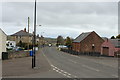
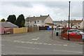
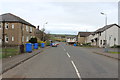
5
Leaving Tarbolton behind
This road has a mix of old stone built houses and some more modern ones that appear to have a grey render surface.
Image: © Malcolm Neal
Taken: 9 Apr 2019
0.11 miles