IMAGES TAKEN NEAR TO
Kilnford Drive, KILMARNOCK, KA2 9EU
Introduction
This page details the photographs taken nearby to Kilnford Drive, KA2 9EU by members of the Geograph project.
The Geograph project started in 2005 with the aim of publishing, organising and preserving representative images for every square kilometre of Great Britain, Ireland and the Isle of Man.

There are currently over 7.5m images from over14,400 individuals and you can help contribute to the project by visiting https://www.geograph.org.uk
Image Map
Images are licensed for reuse under creativecommons.org/licenses/by-sa/2.0
Notes
- Clicking on the map will re-center to the selected point.
- The higher the marker number, the further away the image location is from the centre of the postcode.
Image Listing (97 Images Found)
Images are licensed for reuse under creativecommons.org/licenses/by-sa/2.0
Image
Details
Distance
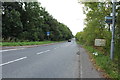
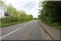
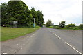
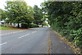
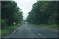
2
The A759 to Kilmarnock near Dundonald
Image: © Billy McCrorie
Taken: 22 May 2014
0.11 miles
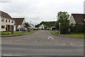
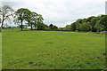
4
On the edge of Dundonald
The small town or large village is our lunch time destination. It has a small hill top castle that we visited some months ago in very rain.
Image: © Malcolm Neal
Taken: 28 Aug 2019
0.11 miles