IMAGES TAKEN NEAR TO
Glenginnet Road, GIRVAN, KA26 9TU
Introduction
This page details the photographs taken nearby to Glenginnet Road, KA26 9TU by members of the Geograph project.
The Geograph project started in 2005 with the aim of publishing, organising and preserving representative images for every square kilometre of Great Britain, Ireland and the Isle of Man.

There are currently over 7.5m images from over14,400 individuals and you can help contribute to the project by visiting https://www.geograph.org.uk
Image Map
Images are licensed for reuse under creativecommons.org/licenses/by-sa/2.0
Notes
- Clicking on the map will re-center to the selected point.
- The higher the marker number, the further away the image location is from the centre of the postcode.
Image Listing (149 Images Found)
Images are licensed for reuse under creativecommons.org/licenses/by-sa/2.0
Image
Details
Distance


10
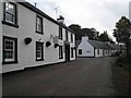
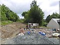
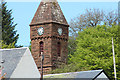
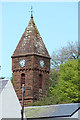
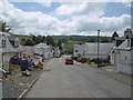
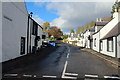
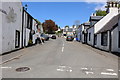
Barr village
When I last supped ale in what is now known as "The Kings Arms", back in the 1970s, it was called the "Bar of Barr".
Image: © Oliver Dixon
Taken: 14 Oct 2006
0.11 miles