IMAGES TAKEN NEAR TO
Ballantrae, GIRVAN, KA26 0LW
Introduction
This page details the photographs taken nearby to KA26 0LW by members of the Geograph project.
The Geograph project started in 2005 with the aim of publishing, organising and preserving representative images for every square kilometre of Great Britain, Ireland and the Isle of Man.

There are currently over 7.5m images from over14,400 individuals and you can help contribute to the project by visiting https://www.geograph.org.uk
Image Map
Images are licensed for reuse under creativecommons.org/licenses/by-sa/2.0
Notes
- Clicking on the map will re-center to the selected point.
- The higher the marker number, the further away the image location is from the centre of the postcode.
Image Listing (44 Images Found)
Images are licensed for reuse under creativecommons.org/licenses/by-sa/2.0
Image
Details
Distance
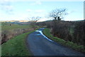
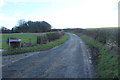
1
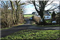
Minor Road to Balkissock at Braeburn
Image: © Billy McCrorie
Taken: 18 Jan 2015
0.00 miles
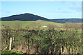
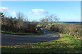
2
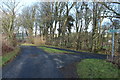
Stinchar Valley Trail to Heronsford
Turn right for Balkissock
Image: © Billy McCrorie
Taken: 18 Jan 2015
0.02 miles
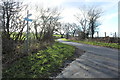
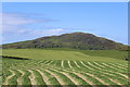
6
Farmland near South Garphar
The big black hill is Knockdolian.
Image: © Billy McCrorie
Taken: 18 Jan 2015
0.09 miles
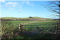
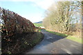
10
Stinchar Valley Trail to Heronsford
Image: © Billy McCrorie
Taken: 18 Jan 2015
0.13 miles