IMAGES TAKEN NEAR TO
Gregg Place, GIRVAN, KA26 0ES
Introduction
This page details the photographs taken nearby to Gregg Place, KA26 0ES by members of the Geograph project.
The Geograph project started in 2005 with the aim of publishing, organising and preserving representative images for every square kilometre of Great Britain, Ireland and the Isle of Man.

There are currently over 7.5m images from over14,400 individuals and you can help contribute to the project by visiting https://www.geograph.org.uk
Image Map
Images are licensed for reuse under creativecommons.org/licenses/by-sa/2.0
Notes
- Clicking on the map will re-center to the selected point.
- The higher the marker number, the further away the image location is from the centre of the postcode.
Image Listing (145 Images Found)
Images are licensed for reuse under creativecommons.org/licenses/by-sa/2.0
Image
Details
Distance
2
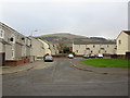
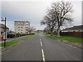
Coalpots Road
The back road, used by light traffic as an unofficial by-pass and by heavy traffic to avoid the low railway bridge in Image
Image: © Mary and Angus Hogg
Taken: 15 May 2008
0.02 miles
7
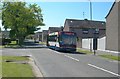
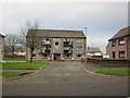
Houses at Ballochtoul
Houses at Ballochtoul, just off Coalpots Road on the east side of Girvan. The name comes from an ancient castle that was located nearby on the site occupied by the current Girvan Academy.
Image: © Mary and Angus Hogg
Taken: 30 Aug 2014
0.04 miles
8
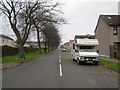
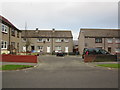
Springfields, Girvan
New private housing estate in Girvan.
Image: © Billy McCrorie
Taken: 2 Aug 2012
0.04 miles
9
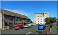
Torcy Way, Girvan
From the junction with Torcy Drive.
Image: © Billy McCrorie
Taken: 2 Aug 2012
0.04 miles