IMAGES TAKEN NEAR TO
DALRY, KA24 5HS
Introduction
This page details the photographs taken nearby to KA24 5HS by members of the Geograph project.
The Geograph project started in 2005 with the aim of publishing, organising and preserving representative images for every square kilometre of Great Britain, Ireland and the Isle of Man.

There are currently over 7.5m images from over14,400 individuals and you can help contribute to the project by visiting https://www.geograph.org.uk
Image Map
Images are licensed for reuse under creativecommons.org/licenses/by-sa/2.0
Notes
- Clicking on the map will re-center to the selected point.
- The higher the marker number, the further away the image location is from the centre of the postcode.
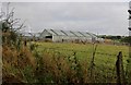
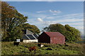
Image Listing (9 Images Found)
Images are licensed for reuse under creativecommons.org/licenses/by-sa/2.0
Image
Details
Distance
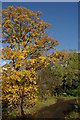
5
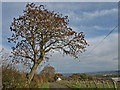
Fairlie Moor Road
An Alder tree on the roadside.
Image: © wfmillar
Taken: 27 Oct 2008
0.17 miles
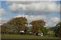
8
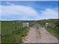
Track leading to Little Auldmuir & Auldmuir Reservoir
Image: © Leslie Barrie
Taken: 21 Oct 2012
0.20 miles
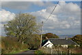
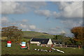
9
Dalry Moor Road, road to Auldmuir Reservoir
Image: © william craig
Taken: 31 May 2006
0.20 miles