IMAGES TAKEN NEAR TO
Kirkoswald, MAYBOLE, KA19 8JQ
Introduction
This page details the photographs taken nearby to KA19 8JQ by members of the Geograph project.
The Geograph project started in 2005 with the aim of publishing, organising and preserving representative images for every square kilometre of Great Britain, Ireland and the Isle of Man.

There are currently over 7.5m images from over14,400 individuals and you can help contribute to the project by visiting https://www.geograph.org.uk
Image Map (Loading...)


Getting Data...Please wait
Leaflet Map data © OpenStreetMap
Images are licensed for reuse under creativecommons.org/licenses/by-sa/2.0
Notes
- Clicking on the map will re-center to the selected point.
- The higher the marker number, the further away the image location is from the centre of the postcode.
Image Listing (40 Images Found)
Images are licensed for reuse under creativecommons.org/licenses/by-sa/2.0
Image
Details
Distance
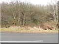
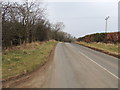
2
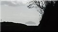
The treeline of Lagganhooly Wood towards Ailsa Craig
Image: © Anthony Parkes
Taken: 15 Apr 2017
0.13 miles
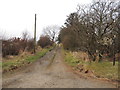
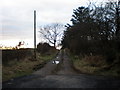
7
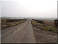
Balvaird Road
You can just see Kirkoswald on the mid right.
Image: © Billy McCrorie
Taken: 6 Mar 2013
0.18 miles