IMAGES TAKEN NEAR TO
Nursery Square, MAYBOLE, KA19 8AJ
Introduction
This page details the photographs taken nearby to Nursery Square, KA19 8AJ by members of the Geograph project.
The Geograph project started in 2005 with the aim of publishing, organising and preserving representative images for every square kilometre of Great Britain, Ireland and the Isle of Man.

There are currently over 7.5m images from over14,400 individuals and you can help contribute to the project by visiting https://www.geograph.org.uk
Image Map
Images are licensed for reuse under creativecommons.org/licenses/by-sa/2.0
Notes
- Clicking on the map will re-center to the selected point.
- The higher the marker number, the further away the image location is from the centre of the postcode.
Image Listing (52 Images Found)
Images are licensed for reuse under creativecommons.org/licenses/by-sa/2.0
Image
Details
Distance
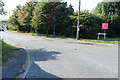
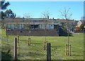
2
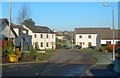
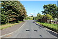
Nursery Square, Minishant
New buildings on the edge of Minishant, in the field between Kewnston and the village school.
Image: © Mary and Angus Hogg
Taken: 19 Dec 2007
0.04 miles
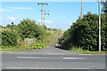
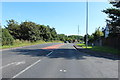
4
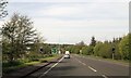
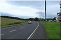
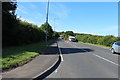
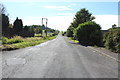
School Road approaching the A77 at Minishant
Image: © Billy McCrorie
Taken: 28 Jul 2014
0.05 miles