IMAGES TAKEN NEAR TO
Ash Drive, BEITH, KA15 2DF
Introduction
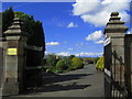
This page details the photographs taken nearby to Ash Drive, KA15 2DF by members of the Geograph project.
The Geograph project started in 2005 with the aim of publishing, organising and preserving representative images for every square kilometre of Great Britain, Ireland and the Isle of Man.

There are currently over 7.5m images from over14,400 individuals and you can help contribute to the project by visiting https://www.geograph.org.uk
Image Map
Images are licensed for reuse under creativecommons.org/licenses/by-sa/2.0
Notes
- Clicking on the map will re-center to the selected point.
- The higher the marker number, the further away the image location is from the centre of the postcode.
Image Listing (60 Images Found)
Images are licensed for reuse under creativecommons.org/licenses/by-sa/2.0
Image
Details
Distance
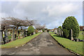
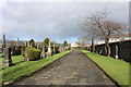
1
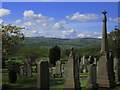
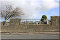
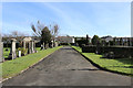
Cemetery, Beith
Looking towards Misty Law, Muirshiel Regional Park
Image: © wfmillar
Taken: 9 May 2007
0.09 miles
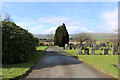

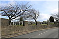
8
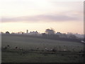
Misty Morning
Beith, with cemetery boundary wall beyond the farmland and Beith "High Church" tower on the skyline.
Image: © Chris Court
Taken: 20 Nov 2005
0.12 miles