IMAGES TAKEN NEAR TO
Hurlford Road, KILMARNOCK, KA1 3LT
Introduction
This page details the photographs taken nearby to Hurlford Road, KA1 3LT by members of the Geograph project.
The Geograph project started in 2005 with the aim of publishing, organising and preserving representative images for every square kilometre of Great Britain, Ireland and the Isle of Man.

There are currently over 7.5m images from over14,400 individuals and you can help contribute to the project by visiting https://www.geograph.org.uk
Image Map
Images are licensed for reuse under creativecommons.org/licenses/by-sa/2.0
Notes
- Clicking on the map will re-center to the selected point.
- The higher the marker number, the further away the image location is from the centre of the postcode.
Image Listing (46 Images Found)
Images are licensed for reuse under creativecommons.org/licenses/by-sa/2.0
Image
Details
Distance
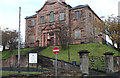
1
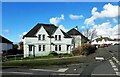
Witchknowe Avenue
Local authority housing area in Kilmarnock, viewed in lovely early-spring sunshine.
Image: © Mary and Angus Hogg
Taken: 5 Mar 2017
0.12 miles
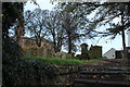
2
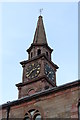
Clock Tower, Riccarton Parish Church
Image: © Billy McCrorie
Taken: 10 Nov 2017
0.13 miles
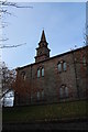
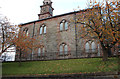
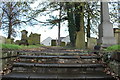
7
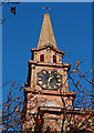
Riccarton Parish Church, Kilmarnock
Steeple.
Image: © wfmillar
Taken: 10 Nov 2011
0.14 miles