IMAGES TAKEN NEAR TO
Pigeons Lane, IPSWICH, IP8 3HH
Introduction
This page details the photographs taken nearby to Pigeons Lane, IP8 3HH by members of the Geograph project.
The Geograph project started in 2005 with the aim of publishing, organising and preserving representative images for every square kilometre of Great Britain, Ireland and the Isle of Man.

There are currently over 7.5m images from over14,400 individuals and you can help contribute to the project by visiting https://www.geograph.org.uk
Image Map
Images are licensed for reuse under creativecommons.org/licenses/by-sa/2.0
Notes
- Clicking on the map will re-center to the selected point.
- The higher the marker number, the further away the image location is from the centre of the postcode.
Image Listing (9 Images Found)
Images are licensed for reuse under creativecommons.org/licenses/by-sa/2.0
Image
Details
Distance
4
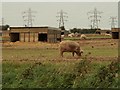
Pigs at Hermitage Farm, Washbrook, Suffolk
Image: © Robert Edwards
Taken: 27 Sep 2006
0.19 miles
5
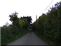
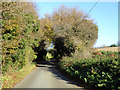
Pigeon's Lane, Washbrook
At the junction with Swan Hill
Image: © Geographer
Taken: 4 Oct 2013
0.23 miles
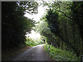
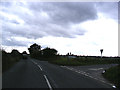
6
Pigeon's Lane, Washbrook
At the junction with Swan Hill
Image: © Geographer
Taken: 4 Oct 2013
0.24 miles
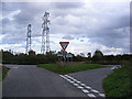
7
Roadsigns on Swan Hill
At the junction with Pigeon's Lane
Image: © Geographer
Taken: 4 Oct 2013
0.24 miles
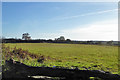
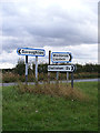
8
Swan Hill, Washbrook
At the junction with Pigeon's Lane
Image: © Geographer
Taken: 4 Oct 2013
0.25 miles
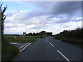
9
Swan Hill, Washbrook
At the junction with Pigeon's Lane
Image: © Geographer
Taken: 4 Oct 2013
0.25 miles