
IMAGES TAKEN NEAR TO
Queens Road, BURY ST. EDMUNDS, IP33 3EW
Introduction
This page details the photographs taken nearby to Queens Road, IP33 3EW by members of the Geograph project.
The Geograph project started in 2005 with the aim of publishing, organising and preserving representative images for every square kilometre of Great Britain, Ireland and the Isle of Man.

There are currently over 7.5m images from over14,400 individuals and you can help contribute to the project by visiting https://www.geograph.org.uk
Image Map
Images are licensed for reuse under creativecommons.org/licenses/by-sa/2.0
Notes
- Clicking on the map will re-center to the selected point.
- The higher the marker number, the further away the image location is from the centre of the postcode.
Image Listing (86 Images Found)
Images are licensed for reuse under creativecommons.org/licenses/by-sa/2.0
Image
Details
Distance
1
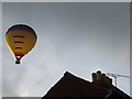
Evening Flight
Hot air balloon seen early evening over Bury St.Edmunds, Suffolk.
Image: © Keith Evans
Taken: 8 Aug 2009
0.03 miles
2
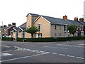
West Road Church
West Road Church on the corner of West Road and Queens Road Bury St.Edmunds Suffolk.
Image: © Keith Evans
Taken: 24 May 2008
0.05 miles
3
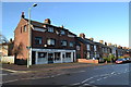
West Road
All Over Beauty in West Road, Bury St. Edmunds, Suffolk closed today as it being Christmas Day 2013.
Image: © Keith Evans
Taken: 25 Dec 2013
0.06 miles
4
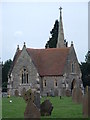
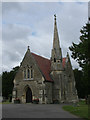
Bury St Edmunds Cemetery Christmas Day 2006
Took a wander around the cemetery in Bury St Edmunds and photographed the old chapel on Christmas day 2006 to get away from the piles of empty toy boxes. Photo taken at 12-24 PM.
Image: © Keith Evans
Taken: 25 Dec 2006
0.09 miles
5
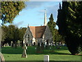
Cemetery Chapel
The chapel in the grounds of Bury St.Edmunds cemetery.
Image: © Keith Evans
Taken: 17 Dec 2006
0.09 miles
6
![Bury St Edmunds features [48]](https://s2.geograph.org.uk/geophotos/06/70/47/6704730_05f8ed81_120x120.jpg)
Bury St Edmunds features [48]
A general view of Bury St Edmunds Cemetery, seen from near the chapel Image
Much of the centre of the town has suffered from redevelopment and most buildings are later than the mid 19th century. There are some uninspiring modern buildings along Parkway and the Arc shopping centre is particularly ugly, especially the building occupied by Debenhams.
Bury St Edmunds is a market town which is the cultural and retail centre for West Suffolk and is known for brewing (Greene King) and sugar (British Sugar). There is scattered evidence of earlier activity but essentially Bury St Edmunds began as one of the royal boroughs of the Saxons and a monastery was founded which became the burial place of King Edmund. A new Benedictine abbey was built in 1020 which became rich and powerful and the town was laid out on a grid pattern by Abbot Baldwin. After the dissolution the abbey became ruinous. A new church, later the cathedral, was begun in the early 16th century.
Image: © Michael Dibb
Taken: 11 Sep 2020
0.09 miles
7
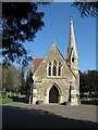
Cemetery Chapel, Bury St Edmunds
The Chapel stands near the northern edge of what is quite a large cemetery.
Image: © chris spencer
Taken: 1 Apr 2009
0.09 miles
9
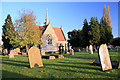
Borough Cemetery, Bury St Edmunds
The evening sun casts long shadows across the cemetery, with the chapel of rest behind.
Image: © Bob Jones
Taken: 31 Oct 2008
0.09 miles
10
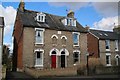
Etruria Villas - 116 & 117 Queens Road
Number 117 was used as the orderly room for B Squadron Suffolk Yeomanry in 1910. This was moved to a slightly larger building in Whiting Street by 1912.
Image: © Bob Jones
Taken: 3 Mar 2015
0.10 miles