
IMAGES TAKEN NEAR TO
Cardinal Close, BURY ST. EDMUNDS, IP32 7LR
Introduction
This page details the photographs taken nearby to Cardinal Close, IP32 7LR by members of the Geograph project.
The Geograph project started in 2005 with the aim of publishing, organising and preserving representative images for every square kilometre of Great Britain, Ireland and the Isle of Man.

There are currently over 7.5m images from over14,400 individuals and you can help contribute to the project by visiting https://www.geograph.org.uk
Image Map
Images are licensed for reuse under creativecommons.org/licenses/by-sa/2.0
Notes
- Clicking on the map will re-center to the selected point.
- The higher the marker number, the further away the image location is from the centre of the postcode.
Image Listing (12 Images Found)
Images are licensed for reuse under creativecommons.org/licenses/by-sa/2.0
Image
Details
Distance
1
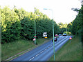
Moreton Hall link road from above
Viewing south from the pedestrian bridge, up the hill to the roundabout with the main Thurston road.
Image: © John Goldsmith
Taken: 21 Jul 2010
0.05 miles
3
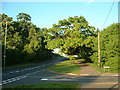
Junction Of Mount Road And Tassel Road
Looking along Mount Road with Tassel Road on the right Bury St. Edmunds, Suffolk.
Image: © Keith Evans
Taken: 8 May 2009
0.12 miles
4
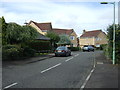
Winsford Road, Bury St Edmunds
Modern residential - looking north from Mount Road.
Image: © JThomas
Taken: 14 Sep 2015
0.13 miles
5
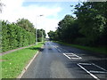
Mount Road, Bury St Edmunds
Heading east on National Cycle Route 13.
Image: © JThomas
Taken: 14 Sep 2015
0.16 miles
6
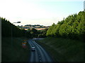
Moreton Hall link road from pedestrian overbridge
The Bury to Ipswich railway line runs across the bottom of the valley here, with the main road route turning to the right going under a narrow bridge, now equipped with traffic lights so tall vehicles can pass through the middle of the arch.
Image: © John Goldsmith
Taken: 21 Jul 2010
0.18 miles
7
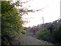
Hidden valley, back of Appledown Drive
On the left the embankment surrounding the play area/flood pond and on the right the railway embankment.
Image: © John Goldsmith
Taken: 6 Oct 2008
0.20 miles
8
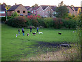
Gathering of dog owners, off Appledown Drive
When I expressed surprise that so many dogs could exercise together without fighting or bullying, the owners told me that there were often far more dogs and owners there. The photo was taken from the Image
Image: © John Goldsmith
Taken: 6 Oct 2008
0.21 miles
9
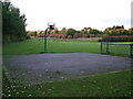
Play area off Appledown Drive
Near Bramley Close.
This area doubles as a water drainage area for the Moreton Hall estate.
The Ipswich - Bury St. Edmunds railway line embankment is hidden in the autumnal foliage at the rear.
Image: © John Goldsmith
Taken: 6 Oct 2008
0.23 miles
10
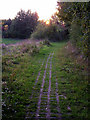
Footpath near Appledown Drive
The footpath leads along the top of the embankment seen in the rear of Image I believe that the surface is known as grasscrete - a concrete mesh which allows the grass to grow through.
Image: © John Goldsmith
Taken: 6 Oct 2008
0.23 miles