
IMAGES TAKEN NEAR TO
Anglian Lane, BURY ST. EDMUNDS, IP32 6SR
Introduction
This page details the photographs taken nearby to Anglian Lane, IP32 6SR by members of the Geograph project.
The Geograph project started in 2005 with the aim of publishing, organising and preserving representative images for every square kilometre of Great Britain, Ireland and the Isle of Man.

There are currently over 7.5m images from over14,400 individuals and you can help contribute to the project by visiting https://www.geograph.org.uk
Image Map
Images are licensed for reuse under creativecommons.org/licenses/by-sa/2.0
Notes
- Clicking on the map will re-center to the selected point.
- The higher the marker number, the further away the image location is from the centre of the postcode.
Image Listing (75 Images Found)
Images are licensed for reuse under creativecommons.org/licenses/by-sa/2.0
Image
Details
Distance
1
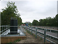
Sign base beside A14 road
New illuminated signs, linked by fibre optic cables, are being installed at very regular intervals along this trunk road.
Image: © John Goldsmith
Taken: 13 Jul 2010
0.02 miles
3

Graffiti
Graffiti Bury St. Edmunds, Suffolk.
Image: © Keith Evans
Taken: 21 Feb 2010
0.04 miles
4
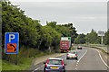
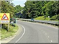
Westbound A14, Layby near Bury St Edmunds
Image: © David Dixon
Taken: 5 Aug 2013
0.05 miles
5
The A14, Bury St Edmunds
Looking towards Home Store
Image: © David Howard
Taken: 17 Apr 2022
0.05 miles
6
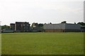
County Upper School
The rear of the school, including the sports hall, across the playing field.
Image: © Bob Jones
Taken: 22 Jun 2005
0.06 miles
8
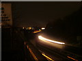
The A14 at night
The A14 Bury St. Edmunds 'by-pass' is unusual in that in runs through the town.
The bright lights in the distance are the Leisure Centre.
Image: © John Goldsmith
Taken: 10 Dec 2008
0.08 miles
10
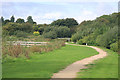
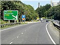
Tayfen Meadows
This recreational area is situated next to the busy A14, which passes along the embankment to the right of this photo.
Image: © Bob Jones
Taken: 6 Sep 2008
0.10 miles