IMAGES TAKEN NEAR TO
Thingoe Hill, BURY ST. EDMUNDS, IP32 6BE
Introduction
This page details the photographs taken nearby to Thingoe Hill, IP32 6BE by members of the Geograph project.
The Geograph project started in 2005 with the aim of publishing, organising and preserving representative images for every square kilometre of Great Britain, Ireland and the Isle of Man.

There are currently over 7.5m images from over14,400 individuals and you can help contribute to the project by visiting https://www.geograph.org.uk
Image Map
Images are licensed for reuse under creativecommons.org/licenses/by-sa/2.0
Notes
- Clicking on the map will re-center to the selected point.
- The higher the marker number, the further away the image location is from the centre of the postcode.
Image Listing (254 Images Found)
Images are licensed for reuse under creativecommons.org/licenses/by-sa/2.0
Image
Details
Distance
6
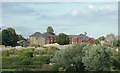
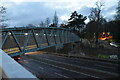
Peach Maltings development
This major development of flats was built on the site of the former Peach Maltings, which was probably situated next to the railway for good transport reasons. The railway runs along the ridge in front of the flats, then a siding services the stock of gravel. At the bottom left a corner of the former Railway Club cricket pitch is visible, with parts of the demolished clubhouse behind the trees.
Image: © John Goldsmith
Taken: 1 Sep 2008
0.04 miles
8
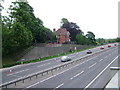
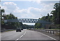
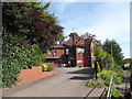
Neatly spaced traffic on A14
There is little traffic as one of the England matches in the World Cup was on TV.
Suffolk does not have much in the way of hills, but Northgate Avenue used to run along a little ridge, which was cut through by the A45 (now A14). The next valley provides a lower level for the central Bury St. Edmunds junction.
Image: © John Goldsmith
Taken: 18 Jun 2010
0.05 miles
9
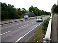
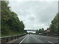
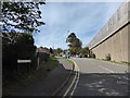
A14 heads west through Bury St. Edmunds
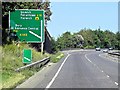
When a complicated route for the A45 road (now the A14) through the streets of Bury St. Edmunds was replaced by this dual carriageway, it required remarkably little disruption despite passing through the town itself, and not round the outside. However, on the right beyond the bollards you can see where Northgate Avenue was truncated. A footpath down the side here provides a link to Fornham Road for walkers and cyclists.
Image: © John Goldsmith
Taken: 6 Sep 2009
0.05 miles