IMAGES TAKEN NEAR TO
Fornham Road, BURY ST. EDMUNDS, IP32 6AX
Introduction
This page details the photographs taken nearby to Fornham Road, IP32 6AX by members of the Geograph project.
The Geograph project started in 2005 with the aim of publishing, organising and preserving representative images for every square kilometre of Great Britain, Ireland and the Isle of Man.

There are currently over 7.5m images from over14,400 individuals and you can help contribute to the project by visiting https://www.geograph.org.uk
Image Map
Images are licensed for reuse under creativecommons.org/licenses/by-sa/2.0
Notes
- Clicking on the map will re-center to the selected point.
- The higher the marker number, the further away the image location is from the centre of the postcode.
Image Listing (50 Images Found)
Images are licensed for reuse under creativecommons.org/licenses/by-sa/2.0
Image
Details
Distance
1
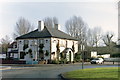
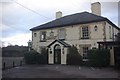
The Tollgate
Public house on the crossroads of Fornham Road and Thetford Road.
Image: © Carl Grove
Taken: 1 Feb 2004
0.00 miles
4
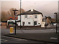
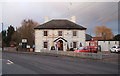
The Tollgate, Bury St Edmunds
Greene King pub on the northern outskirts of Bury St Edmunds close to Tollgate Bridge over the River Lark.
Image: © Stephen McKay
Taken: 26 Dec 2011
0.01 miles
6
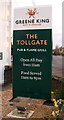
Sign for the Tollgate public House, Bury St Edmunds
Image: © JThomas
Taken: 5 Mar 2016
0.01 miles
7
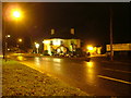
Tollgate Inn from the South
Compare with Image - but the MG is more obvious in this one.
Image: © John Goldsmith
Taken: 8 Dec 2008
0.02 miles
8
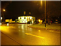
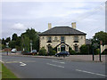
Tollgate Inn, Bury St. Edmunds
This prominent public house stands at the northern approach to Bury St. Edmunds.
In front of it is Bury's curious combination of roundabout and traffic light junction - this is the roundabout part.
My MG makes another appearance, but you need good eyesight this time.
Image: © John Goldsmith
Taken: 10 Dec 2008
0.02 miles
9
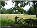
A field with a letter box
It is marked Priory Farm, but there is no sign of any human habitation - this is the field also seen in Image On the other side of the road is the Priory Hotel.
Actually the letterbox has appeared since the Google Street View camera passed by. The gate was intact at that time too.
Image: © John Goldsmith
Taken: 21 Aug 2011
0.03 miles