IMAGES TAKEN NEAR TO
Nuts Pightle, BURY ST. EDMUNDS, IP31 3FP
Introduction
This page details the photographs taken nearby to Nuts Pightle, IP31 3FP by members of the Geograph project.
The Geograph project started in 2005 with the aim of publishing, organising and preserving representative images for every square kilometre of Great Britain, Ireland and the Isle of Man.

There are currently over 7.5m images from over14,400 individuals and you can help contribute to the project by visiting https://www.geograph.org.uk
Image Map
Images are licensed for reuse under creativecommons.org/licenses/by-sa/2.0
Notes
- Clicking on the map will re-center to the selected point.
- The higher the marker number, the further away the image location is from the centre of the postcode.
Image Listing (12 Images Found)
Images are licensed for reuse under creativecommons.org/licenses/by-sa/2.0
Image
Details
Distance
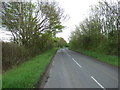
1

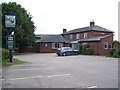
Meadow Lane
Meadow Lane looking south at Thurston, Suffolk.
Image: © Keith Evans
Taken: 16 Jun 2009
0.04 miles
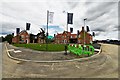
2
Thurston: Large housing development
Image: © Michael Garlick
Taken: 26 Jun 2020
0.06 miles
7
Thurston: Large housing development
Image: © Michael Garlick
Taken: 11 Jul 2020
0.14 miles
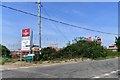
8
Ixworth Road, Thurston
At the junction with Norton Road & Station Hill
Image: © Geographer
Taken: 19 Sep 2016
0.18 miles
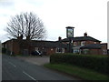
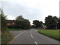
9
Norton Road running past Thurston Community College
Image: © Helen Steed
Taken: 2 Mar 2013
0.21 miles
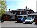
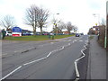
10
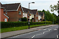
Modern houses in Thurston
The village has expanded considerably in recent years, no doubt due to reasonable proximity to the A14 and to Bury St Edmunds.
Image: © Andrew Hill
Taken: 1 May 2009
0.21 miles