
IMAGES TAKEN NEAR TO
School Road, BURY ST. EDMUNDS, IP30 9EA
Introduction
This page details the photographs taken nearby to School Road, IP30 9EA by members of the Geograph project.
The Geograph project started in 2005 with the aim of publishing, organising and preserving representative images for every square kilometre of Great Britain, Ireland and the Isle of Man.

There are currently over 7.5m images from over14,400 individuals and you can help contribute to the project by visiting https://www.geograph.org.uk
Image Map
Images are licensed for reuse under creativecommons.org/licenses/by-sa/2.0
Notes
- Clicking on the map will re-center to the selected point.
- The higher the marker number, the further away the image location is from the centre of the postcode.
Image Listing (60 Images Found)
Images are licensed for reuse under creativecommons.org/licenses/by-sa/2.0
Image
Details
Distance
1
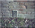
OS Flush Bracket S 8208
Elmswell.
www.bench-marks.org.uk/bm12633
Image: © Richard Neale
Taken: 1 Nov 2001
0.03 miles
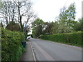
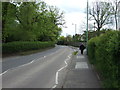
4
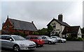
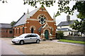
Elmswell Methodist Church and the Railway Tavern
Image: © Bikeboy
Taken: 29 May 2014
0.07 miles
6
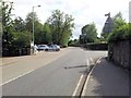
Station Road and entrance to Co-op supermarket, Elmswell
Image: © Helen Steed
Taken: 3 Aug 2012
0.07 miles
7
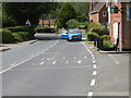
Parking a car on a bend is not a good idea
Image: © Adrian S Pye
Taken: 21 Jul 2019
0.07 miles
10
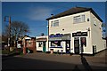
Elmswell Shops
Conveniently situated next to the Fire Station
Image: © John Myers
Taken: 11 Jan 2012
0.08 miles