IMAGES TAKEN NEAR TO
Leicester Close, IPSWICH, IP2 9EX
Introduction
This page details the photographs taken nearby to Leicester Close, IP2 9EX by members of the Geograph project.
The Geograph project started in 2005 with the aim of publishing, organising and preserving representative images for every square kilometre of Great Britain, Ireland and the Isle of Man.

There are currently over 7.5m images from over14,400 individuals and you can help contribute to the project by visiting https://www.geograph.org.uk
Image Map
Images are licensed for reuse under creativecommons.org/licenses/by-sa/2.0
Notes
- Clicking on the map will re-center to the selected point.
- The higher the marker number, the further away the image location is from the centre of the postcode.
Image Listing (22 Images Found)
Images are licensed for reuse under creativecommons.org/licenses/by-sa/2.0
Image
Details
Distance
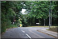
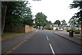
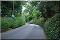
3
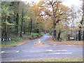
Leafey Junction
Road junction of Belstead Road and Girton Road Stoke Park Ipswich Suffolk.
Image: © Keith Evans
Taken: 27 Nov 2006
0.12 miles
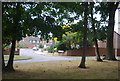
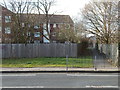
5
Balmoral Close
Image: © N Chadwick
Taken: 23 Sep 2012
0.16 miles
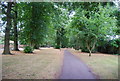
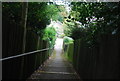
10
Path near Bourne Park
There was once a footbridge here (Google Maps still shows it) see http://www.geograph.org.uk/photo/1112182 for a photo of it.
Image: © Hamish Griffin
Taken: 21 Feb 2014
0.21 miles