IMAGES TAKEN NEAR TO
Tuffields Road, BURY ST. EDMUNDS, IP29 4TL
Introduction
This page details the photographs taken nearby to Tuffields Road, IP29 4TL by members of the Geograph project.
The Geograph project started in 2005 with the aim of publishing, organising and preserving representative images for every square kilometre of Great Britain, Ireland and the Isle of Man.

There are currently over 7.5m images from over14,400 individuals and you can help contribute to the project by visiting https://www.geograph.org.uk
Image Map
Images are licensed for reuse under creativecommons.org/licenses/by-sa/2.0
Notes
- Clicking on the map will re-center to the selected point.
- The higher the marker number, the further away the image location is from the centre of the postcode.
Image Listing (11 Images Found)
Images are licensed for reuse under creativecommons.org/licenses/by-sa/2.0
Image
Details
Distance
1
A Sign Of Change
Last time I photographed this it had a permit holders only sign attached see http://www.geograph.org.uk/photo/907571
Image: © Keith Evans
Taken: 10 Oct 2010
0.03 miles
3
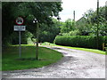
Except permit holders
Restricted Byway near to Brockley Green Suffolk.
Image: © Keith Evans
Taken: 3 Aug 2008
0.04 miles
4
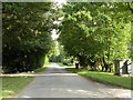
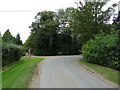
Part of Tuffields Road near Bevan's Farm
Image: © Robert Edwards
Taken: 8 Jul 2009
0.06 miles
7
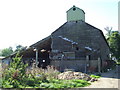
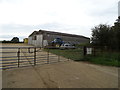
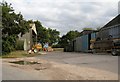
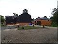
Old Far Building
Old farm building at Castle Farm Brockley, Suffolk.
Image: © Keith Evans
Taken: 10 Oct 2010
0.06 miles
8
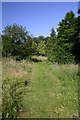
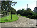
Footpath to Brockley Green
This path, at Bevans Farm, passes through the garden of a house before entering an open field.
Image: © Bob Jones
Taken: 3 Jul 2006
0.07 miles