IMAGES TAKEN NEAR TO
Shimpling Road, BURY ST. EDMUNDS, IP29 4QE
Introduction
This page details the photographs taken nearby to Shimpling Road, IP29 4QE by members of the Geograph project.
The Geograph project started in 2005 with the aim of publishing, organising and preserving representative images for every square kilometre of Great Britain, Ireland and the Isle of Man.

There are currently over 7.5m images from over14,400 individuals and you can help contribute to the project by visiting https://www.geograph.org.uk
Image Map
Images are licensed for reuse under creativecommons.org/licenses/by-sa/2.0
Notes
- Clicking on the map will re-center to the selected point.
- The higher the marker number, the further away the image location is from the centre of the postcode.
Image Listing (9 Images Found)
Images are licensed for reuse under creativecommons.org/licenses/by-sa/2.0
Image
Details
Distance
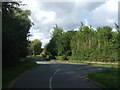
2
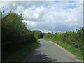
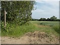
Minor road towards Lawshall
Looking north east.
Image: © JThomas
Taken: 2 Sep 2017
0.10 miles
6
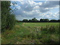
Footpath to Shimpling Street from Shimpling Road
Image: © Robert Edwards
Taken: 1 Jun 2011
0.20 miles
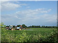
8
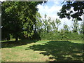
Hanningfield Green
Hanningfield Green, Suffolk.
Image: © Keith Evans
Taken: 25 Sep 2011
0.22 miles
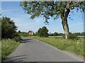
9
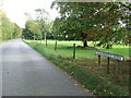
Minor road junction, Hanningfield Green
Looking north.
Image: © JThomas
Taken: 2 Sep 2017
0.24 miles