
IMAGES TAKEN NEAR TO
Shimpling, BURY ST. EDMUNDS, IP29 4EX
Introduction
This page details the photographs taken nearby to IP29 4EX by members of the Geograph project.
The Geograph project started in 2005 with the aim of publishing, organising and preserving representative images for every square kilometre of Great Britain, Ireland and the Isle of Man.

There are currently over 7.5m images from over14,400 individuals and you can help contribute to the project by visiting https://www.geograph.org.uk
Image Map
Images are licensed for reuse under creativecommons.org/licenses/by-sa/2.0
Notes
- Clicking on the map will re-center to the selected point.
- The higher the marker number, the further away the image location is from the centre of the postcode.
Image Listing (16 Images Found)
Images are licensed for reuse under creativecommons.org/licenses/by-sa/2.0
Image
Details
Distance
1

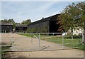
Pond at Gifford's Hall
The pond attracts plenty of waterfowl. Brown sheep graze in the background.
Image: © Trevor Harris
Taken: 26 May 2009
0.03 miles
3
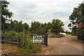
Nursery near Gifford's Hall
Gifford's Hall is a working vineyard, harvesting 24 tonnes of grapes last year. The nursery is opposite Giffords Hall, at Gatefields Meadow and is under different ownership.
Image: © Bob Jones
Taken: 4 Jul 2006
0.06 miles
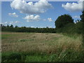
7
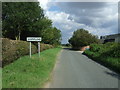
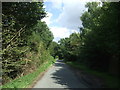
Entering Shimpling
Looking east near Gatefields Farm.
Image: © JThomas
Taken: 2 Sep 2017
0.13 miles
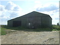
9
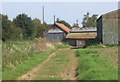
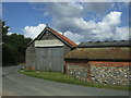
Bridleway approaching lane corner at Dales Farm
Image: © Andrew Hill
Taken: 20 Sep 2008
0.16 miles
10
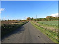
Road at the Ordnance Survey Triangulation Pillar near Dales Farm
Looking south-eastward.
Image: © Peter Wood
Taken: 12 Nov 2014
0.19 miles