IMAGES TAKEN NEAR TO
Hartest, BURY ST. EDMUNDS, IP29 4ES
Introduction
This page details the photographs taken nearby to IP29 4ES by members of the Geograph project.
The Geograph project started in 2005 with the aim of publishing, organising and preserving representative images for every square kilometre of Great Britain, Ireland and the Isle of Man.

There are currently over 7.5m images from over14,400 individuals and you can help contribute to the project by visiting https://www.geograph.org.uk
Image Map
Images are licensed for reuse under creativecommons.org/licenses/by-sa/2.0
Notes
- Clicking on the map will re-center to the selected point.
- The higher the marker number, the further away the image location is from the centre of the postcode.
Image Listing (118 Images Found)
Images are licensed for reuse under creativecommons.org/licenses/by-sa/2.0
Image
Details
Distance
1
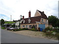
Houses on Hartest Hill
The tower of the parish church and its flagpole show above the trees.
Image: © John Sutton
Taken: 23 Jun 2021
0.01 miles
2
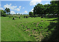
Hartest cemetery
On Hartest Hill and not far from the parish church.
Image: © John Sutton
Taken: 23 Jun 2021
0.02 miles
3
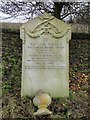
The War Grave of Private Charles Arthur Pawsey
Decorated with a pair of rifles and laurel swags it is one of four War Graves in Hartest cemetery.
Image: © Adrian S Pye
Taken: 20 Dec 2016
0.02 miles
4
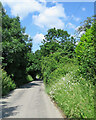
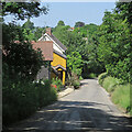
Down Hartest Hill
Hartest Hill is said to be the steepest hill in Suffolk, so I was pleased to be walking down it. Hill-climbing cyclists rank the ascent 13,726th in the world, with a maximum slope of 15%.
Image: © John Sutton
Taken: 23 Jun 2021
0.05 miles
5
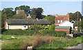
Hartest village scene
From the lane at the start of the climb to Hartest Hill.
Image: © Andrew Hill
Taken: 20 Sep 2008
0.07 miles
6
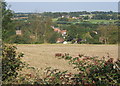
Overlooking Hartest village
Cross Green in the distance. Seen from the footpath dropping down from Hartest Hill.
Image: © Andrew Hill
Taken: 20 Sep 2008
0.07 miles
7
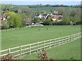
Village view from Hartest Hill
This view from path that leads from the village green to Hartest Hill looks back towards the village centre across a field where horses are grazing.
Image: © Bob Jones
Taken: 15 Apr 2014
0.08 miles
8
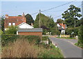
Lane junction entering Hartest at the foot of Hartest Hill
Image: © Andrew Hill
Taken: 20 Sep 2008
0.08 miles
9
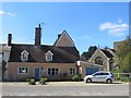
Bridge House, Hartest
This cottage is situated next to the stream that runs past the church.
Image: © Bob Jones
Taken: 15 Apr 2014
0.09 miles