IMAGES TAKEN NEAR TO
Pembroke Close, IPSWICH, IP2 8PD
Introduction
This page details the photographs taken nearby to Pembroke Close, IP2 8PD by members of the Geograph project.
The Geograph project started in 2005 with the aim of publishing, organising and preserving representative images for every square kilometre of Great Britain, Ireland and the Isle of Man.

There are currently over 7.5m images from over14,400 individuals and you can help contribute to the project by visiting https://www.geograph.org.uk
Image Map
Images are licensed for reuse under creativecommons.org/licenses/by-sa/2.0
Notes
- Clicking on the map will re-center to the selected point.
- The higher the marker number, the further away the image location is from the centre of the postcode.
Image Listing (27 Images Found)
Images are licensed for reuse under creativecommons.org/licenses/by-sa/2.0
Image
Details
Distance
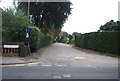
1
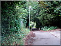
Public footpath at the end of Oak Hill Lane
Image: © Oxymoron
Taken: 10 Jun 2009
0.13 miles
7

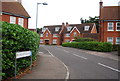
Halifax Primary School, Ipswich
The school building was designed by celebrated Ipswich architect Birkin Haward (1912-2002) using an innovative open plan design. It was opened in 1971 by the then Secretary of State for Education, Margaret Thatcher.
Image: © Simon Mortimer
Taken: 10 Sep 2020
0.20 miles
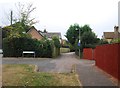
9
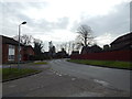
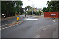
The end of Grantham Close and Stone Lodge Lane
Stone Lodge Lane itself ends at the mini roundabout just ahead.
Image: © Hamish Griffin
Taken: 6 Mar 2014
0.20 miles