IMAGES TAKEN NEAR TO
The Paddocks, BURY ST. EDMUNDS, IP28 8SB
Introduction
This page details the photographs taken nearby to The Paddocks, IP28 8SB by members of the Geograph project.
The Geograph project started in 2005 with the aim of publishing, organising and preserving representative images for every square kilometre of Great Britain, Ireland and the Isle of Man.

There are currently over 7.5m images from over14,400 individuals and you can help contribute to the project by visiting https://www.geograph.org.uk
Image Map
Images are licensed for reuse under creativecommons.org/licenses/by-sa/2.0
Notes
- Clicking on the map will re-center to the selected point.
- The higher the marker number, the further away the image location is from the centre of the postcode.
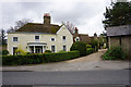
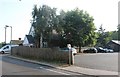
Image Listing (19 Images Found)
Images are licensed for reuse under creativecommons.org/licenses/by-sa/2.0
Image
Details
Distance
5
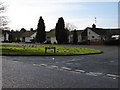
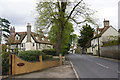
Lark Close, Worlington
Looks like there are more moles than larks here.
Image: © Hugh Venables
Taken: 17 Jan 2010
0.11 miles
6
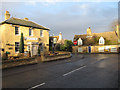
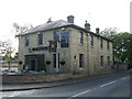
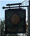
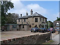
The Walnut Tree, Worlington
Welcoming looking pub in the village but I didn't stop to sample the produce.
Image: © Hugh Venables
Taken: 13 Dec 2009
0.11 miles