
IMAGES TAKEN NEAR TO
Eagle Close, BURY ST. EDMUNDS, IP28 1AF
Introduction
This page details the photographs taken nearby to Eagle Close, IP28 1AF by members of the Geograph project.
The Geograph project started in 2005 with the aim of publishing, organising and preserving representative images for every square kilometre of Great Britain, Ireland and the Isle of Man.

There are currently over 7.5m images from over14,400 individuals and you can help contribute to the project by visiting https://www.geograph.org.uk
Image Map
Images are licensed for reuse under creativecommons.org/licenses/by-sa/2.0
Notes
- Clicking on the map will re-center to the selected point.
- The higher the marker number, the further away the image location is from the centre of the postcode.
Image Listing (28 Images Found)
Images are licensed for reuse under creativecommons.org/licenses/by-sa/2.0
Image
Details
Distance
1
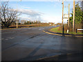
Turnpike Road, Red Lodge
At the junction with Boundary Road. Turnpike Road is the old A11, the bypass was built in 1992.
Image: © Hugh Venables
Taken: 13 Dec 2009
0.10 miles
3
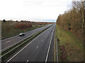
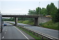
A11 at Red Lodge
Main Cambridge to Norwich road and probably the main reason behind the recent growth of Red Lodge. There is an extra crash barrier on the side of the road to protect crashes from the bridge support (and vice versa).
Image: © Hugh Venables
Taken: 13 Dec 2009
0.12 miles
6
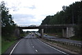
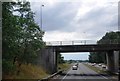
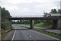
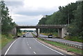
Overbridge at the Red Lodge junction, A11
Image: © N Chadwick
Taken: 1 Jul 2011
0.13 miles
9
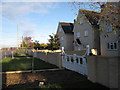
New housing at Red Lodge
The village is expanding rapidly. The A11 gives a good transport link to Cambridge, Newmarket and Norwich. Not sure why they need to block the walking route along Turnpike Road.
Image: © Hugh Venables
Taken: 13 Dec 2009
0.14 miles
10
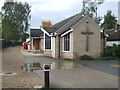
St Christopher's Church, Red Lodge
St Christopher's Church, Red Lodge, Suffolk.
Image: © Keith Evans
Taken: 19 Oct 2016
0.15 miles