
IMAGES TAKEN NEAR TO
Mayfields, BRANDON, IP27 9TA
Introduction
This page details the photographs taken nearby to Mayfields, IP27 9TA by members of the Geograph project.
The Geograph project started in 2005 with the aim of publishing, organising and preserving representative images for every square kilometre of Great Britain, Ireland and the Isle of Man.

There are currently over 7.5m images from over14,400 individuals and you can help contribute to the project by visiting https://www.geograph.org.uk
Image Map
Images are licensed for reuse under creativecommons.org/licenses/by-sa/2.0
Notes
- Clicking on the map will re-center to the selected point.
- The higher the marker number, the further away the image location is from the centre of the postcode.
Image Listing (78 Images Found)
Images are licensed for reuse under creativecommons.org/licenses/by-sa/2.0
Image
Details
Distance
2
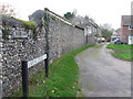
Dumpling Bridge Lane
Dumpling Bridge Lane at Lakenheath, Suffolk this would have gone through to Dumpling Bridge before the cut off channel was constructed in the 1950/60s.
Image: © Keith Evans
Taken: 18 Nov 2015
0.09 miles
3
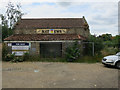
Matthews nurseries fenced off
4.7 acres for sale as a potential development site in Lakenheath.
Image: © Hugh Venables
Taken: 24 Jul 2016
0.10 miles
5
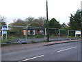
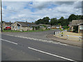
Awaiting Development
Land awaiting to be developed at Lakenheath, Suffolk for close up view see http://www.geograph.org.uk/photo/4746795
Image: © Keith Evans
Taken: 25 Nov 2015
0.12 miles
6
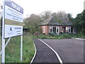
To Be Developed
Land with new road entrance in place ready to be developed at Lakenheath, Suffolk. For overall view see https://www.geograph.org.uk/photo/4752356
Image: © Keith Evans
Taken: 18 Nov 2015
0.12 miles
7
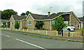
Hallfields, Lakenheath
New houses on the edge of the village.
Image: © Mary and Angus Hogg
Taken: 31 Aug 2021
0.12 miles
9
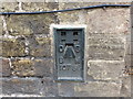
Ordnance Survey Flush Bracket 10786
This can be found on the wall of the Post Office in Lakenheath.
For more detail see : http://www.bench-marks.org.uk/bm18801
Image: © Peter Wood
Taken: 11 Oct 2014
0.14 miles
10
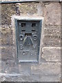
Ordnance Survey Flush Bracket (10786)
This OS Flush Bracket can be found on No42 High Street. It marks a point 8.995m above mean sea level.
Image: © Adrian Dust
Taken: 11 Oct 2014
0.15 miles