IMAGES TAKEN NEAR TO
King Row, THETFORD, IP25 7RW
Introduction
This page details the photographs taken nearby to King Row, IP25 7RW by members of the Geograph project.
The Geograph project started in 2005 with the aim of publishing, organising and preserving representative images for every square kilometre of Great Britain, Ireland and the Isle of Man.

There are currently over 7.5m images from over14,400 individuals and you can help contribute to the project by visiting https://www.geograph.org.uk
Image Map
Images are licensed for reuse under creativecommons.org/licenses/by-sa/2.0
Notes
- Clicking on the map will re-center to the selected point.
- The higher the marker number, the further away the image location is from the centre of the postcode.
Image Listing (8 Images Found)
Images are licensed for reuse under creativecommons.org/licenses/by-sa/2.0
Image
Details
Distance
5
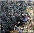
In full flow
Drainage pipe under King Row in full flow following wet winter weather
Image: © Bill Sibley
Taken: 4 Feb 2008
0.21 miles
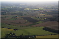
7
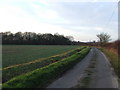
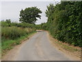
Kingrow Wood
Kingrow Wood on the left as seen from King Row near to Carbrook Norfolk.
Image: © Keith Evans
Taken: 27 Jan 2008
0.23 miles
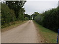
8
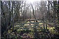
Woodland Gate
Overgrown track into Kingrow Wood from King Row
Image: © Bill Sibley
Taken: 4 Feb 2008
0.24 miles