IMAGES TAKEN NEAR TO
Caudle Springs, THETFORD, IP25 6SG
Introduction
This page details the photographs taken nearby to Caudle Springs, IP25 6SG by members of the Geograph project.
The Geograph project started in 2005 with the aim of publishing, organising and preserving representative images for every square kilometre of Great Britain, Ireland and the Isle of Man.

There are currently over 7.5m images from over14,400 individuals and you can help contribute to the project by visiting https://www.geograph.org.uk
Image Map
Images are licensed for reuse under creativecommons.org/licenses/by-sa/2.0
Notes
- Clicking on the map will re-center to the selected point.
- The higher the marker number, the further away the image location is from the centre of the postcode.
Image Listing (17 Images Found)
Images are licensed for reuse under creativecommons.org/licenses/by-sa/2.0
Image
Details
Distance
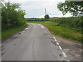
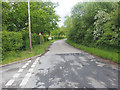
4
The western end of Drury Lane, Carbrooke
Image: © Adrian S Pye
Taken: 22 May 2019
0.13 miles
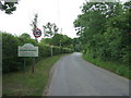
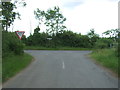
9
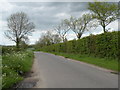
Country Lane, heading towards Ovington
This road is called The Street as it enters Ovington village.
Image: © Robert Edwards
Taken: 16 May 2012
0.17 miles
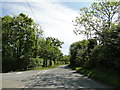
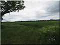
10
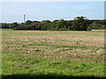
Farmland north of Watton
Not very exciting, but typical of the square!
Image: © David Purchase
Taken: 24 Oct 2013
0.18 miles