IMAGES TAKEN NEAR TO
Carbrooke Road, THETFORD, IP25 6SE
Introduction
This page details the photographs taken nearby to Carbrooke Road, IP25 6SE by members of the Geograph project.
The Geograph project started in 2005 with the aim of publishing, organising and preserving representative images for every square kilometre of Great Britain, Ireland and the Isle of Man.

There are currently over 7.5m images from over14,400 individuals and you can help contribute to the project by visiting https://www.geograph.org.uk
Image Map
Images are licensed for reuse under creativecommons.org/licenses/by-sa/2.0
Notes
- Clicking on the map will re-center to the selected point.
- The higher the marker number, the further away the image location is from the centre of the postcode.
Image Listing (11 Images Found)
Images are licensed for reuse under creativecommons.org/licenses/by-sa/2.0
Image
Details
Distance
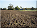
2
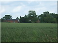
Cereal crop and hedgerow
Beside a drain, north of Carbrooke Road.
Image: © JThomas
Taken: 17 Jun 2017
0.11 miles
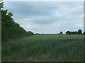
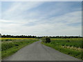
3
Carbrooke Road, near Bush Farm and Grape Farm
Image: © Adrian S Pye
Taken: 22 May 2019
0.13 miles
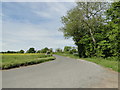
4
Junction with minor road towards Watton or Carbrooke
Image: © David Pashley
Taken: 27 May 2019
0.21 miles
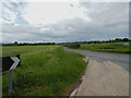
8
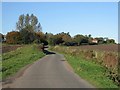
Wiggles
On the road to Ovington from Caudlesprings.
Image: © Roger Gilbertson
Taken: 3 Nov 2006
0.24 miles
9
Towards Carbrooke Church
From the road to Ovington.
Image: © Roger Gilbertson
Taken: 3 Nov 2006
0.24 miles
10
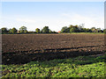
A Bush Farm Field
Bush Farm lies between Caudlesprings and Ovington.
Image: © Roger Gilbertson
Taken: 3 Nov 2006
0.24 miles