IMAGES TAKEN NEAR TO
Warren Hill, EYE, IP23 8AA
Introduction
This page details the photographs taken nearby to Warren Hill, IP23 8AA by members of the Geograph project.
The Geograph project started in 2005 with the aim of publishing, organising and preserving representative images for every square kilometre of Great Britain, Ireland and the Isle of Man.

There are currently over 7.5m images from over14,400 individuals and you can help contribute to the project by visiting https://www.geograph.org.uk
Image Map
Images are licensed for reuse under creativecommons.org/licenses/by-sa/2.0
Notes
- Clicking on the map will re-center to the selected point.
- The higher the marker number, the further away the image location is from the centre of the postcode.
Image Listing (22 Images Found)
Images are licensed for reuse under creativecommons.org/licenses/by-sa/2.0
Image
Details
Distance
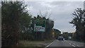
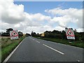
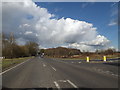
2
A140 north approaching junction with B1118, footpath to the left
Image: © Roy Hughes
Taken: 14 May 2022
0.02 miles
6
Roadworks on the A140
At Stuston near Diss Norfolk.
Image: © Adrian S Pye
Taken: 30 Aug 2010
0.05 miles
7
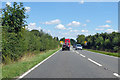
Northbound A140
The Routemaster bus ahead was on wedding duty.
Image: © Robin Webster
Taken: 11 Aug 2018
0.07 miles
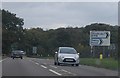
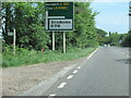
9
A140 at Warren Hills, Scole
At the junction with the B1118 Lower Oakley
Image: © Geographer
Taken: 3 Mar 2015
0.10 miles
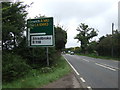
10
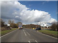
A140 at Warren Hills, Scole
At the junction with the B1118 Lower Oakley
Image: © Geographer
Taken: 3 Mar 2015
0.10 miles