IMAGES TAKEN NEAR TO
Laxfield Road, EYE, IP21 5NP
Introduction
This page details the photographs taken nearby to Laxfield Road, IP21 5NP by members of the Geograph project.
The Geograph project started in 2005 with the aim of publishing, organising and preserving representative images for every square kilometre of Great Britain, Ireland and the Isle of Man.

There are currently over 7.5m images from over14,400 individuals and you can help contribute to the project by visiting https://www.geograph.org.uk
Image Map
Images are licensed for reuse under creativecommons.org/licenses/by-sa/2.0
Notes
- Clicking on the map will re-center to the selected point.
- The higher the marker number, the further away the image location is from the centre of the postcode.
Image Listing (12 Images Found)
Images are licensed for reuse under creativecommons.org/licenses/by-sa/2.0
Image
Details
Distance
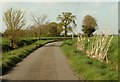
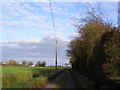
1
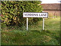
Verdons Lane
At the junction with the B1117 Laxfield Road
Image: © Geographer
Taken: 25 Nov 2011
0.00 miles
2
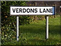
Verdons Lane sign
At the junction with the B1117 Laxfield Road
Image: © Geographer
Taken: 28 Nov 2011
0.00 miles
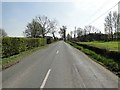
3
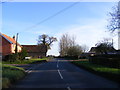
B1117 Laxfield Road
At the junction with Verdons Lane
Image: © Geographer
Taken: 25 Nov 2011
0.01 miles
4
B1117 Laxfield Road
At the junction with Verdons Lane
Image: © Geographer
Taken: 28 Nov 2011
0.01 miles
5
Verdons Lane sign
At the junction with the B1117 Laxfield Road
Image: © Geographer
Taken: 25 Nov 2011
0.01 miles
6
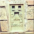
Flush Bracket OSBM S9646 Oaktree Farm
Flush Bracket OSBM S9646 Oaktree Farm SW face of farm shed.
Image: © Cud05
Taken: 7 Mar 2018
0.02 miles
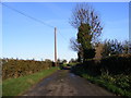
7
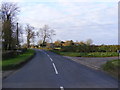
Verdons Lane
Near the junction with the B1117 Laxfield Road
Image: © Geographer
Taken: 28 Nov 2011
0.02 miles