
IMAGES TAKEN NEAR TO
Wright Way, Blackheath Road, HALESWORTH, IP19 9DN
Introduction
This page details the photographs taken nearby to Wright Way, Blackheath Road, IP19 9DN by members of the Geograph project.
The Geograph project started in 2005 with the aim of publishing, organising and preserving representative images for every square kilometre of Great Britain, Ireland and the Isle of Man.

There are currently over 7.5m images from over14,400 individuals and you can help contribute to the project by visiting https://www.geograph.org.uk
Image Map
Images are licensed for reuse under creativecommons.org/licenses/by-sa/2.0
Notes
- Clicking on the map will re-center to the selected point.
- The higher the marker number, the further away the image location is from the centre of the postcode.
Image Listing (12 Images Found)
Images are licensed for reuse under creativecommons.org/licenses/by-sa/2.0
Image
Details
Distance

2
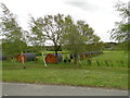
Holiday accommodation at Heathside Lodges, Wenhaston
Image: © Adrian S Pye
Taken: 6 May 2015
0.06 miles
3
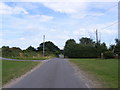
Blackheath Road
At the junction with Bramfield Road
Image: © Geographer
Taken: 17 Aug 2012
0.09 miles
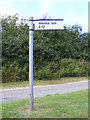
5
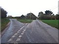
Road Junction
Road junction near to Thorington, Suffolk.
Image: © Keith Evans
Taken: 23 Nov 2015
0.10 miles
6
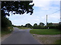
Bramfield Road
At the junction with Blackheath Road
Image: © Geographer
Taken: 17 Aug 2012
0.11 miles
7
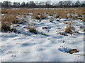
Snowy flood plain
This very flat land is a nature reserve, and is criss crossed by drainage ditches. A footpath leads straight across the middle, also passing by Image The land does not seem to be particularly marshy - note the grass. The plain ends on the northern and southern edges with steep soil escarpments.
Image: © John Goldsmith
Taken: 11 Feb 2012
0.21 miles
8
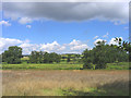
Meadows near Bramfield, Suffolk
Traditional flood meadows north of Thorington Road.
Image: © John Winfield
Taken: 25 Aug 2005
0.24 miles
9
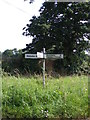
Roadsign on Bramfield Road
At the junction with Wenhaston Road & Bartholomew's Lane
Image: © Geographer
Taken: 14 Aug 2012
0.24 miles
10
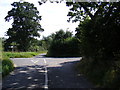
Bartholomew's Lane junction
At the junction with Wenhaston & Bramfield Roads
Image: © Geographer
Taken: 14 Aug 2012
0.24 miles