IMAGES TAKEN NEAR TO
Nightingale Close, HALESWORTH, IP19 8DA
Introduction
This page details the photographs taken nearby to Nightingale Close, IP19 8DA by members of the Geograph project.
The Geograph project started in 2005 with the aim of publishing, organising and preserving representative images for every square kilometre of Great Britain, Ireland and the Isle of Man.

There are currently over 7.5m images from over14,400 individuals and you can help contribute to the project by visiting https://www.geograph.org.uk
Image Map
Images are licensed for reuse under creativecommons.org/licenses/by-sa/2.0
Notes
- Clicking on the map will re-center to the selected point.
- The higher the marker number, the further away the image location is from the centre of the postcode.
Image Listing (155 Images Found)
Images are licensed for reuse under creativecommons.org/licenses/by-sa/2.0
Image
Details
Distance
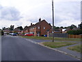
1
Bedingfield Crescent, Halesworth
At the junction with Kennedy Avenue
Image: © Geographer
Taken: 23 Aug 2012
0.05 miles
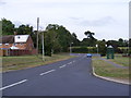
2
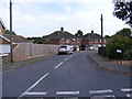
Kennedy Avenue, Halesworth
At the junction with Bedingfield Crescent
Image: © Geographer
Taken: 23 Aug 2012
0.05 miles
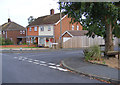
3
Bedingfield Crescent, Halesworth
At the junction with Durban Close
Image: © Geographer
Taken: 23 Aug 2012
0.06 miles
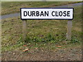
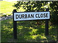
4
Durban Close, Halesworth
Looking towards the A144 Bramfield Road at the junction with Bedingfield Crescent
Road No.U2625
Image: © Geographer
Taken: 23 Aug 2012
0.06 miles