IMAGES TAKEN NEAR TO
St. Edmunds Road, SOUTHWOLD, IP18 6LB
Introduction
This page details the photographs taken nearby to St. Edmunds Road, IP18 6LB by members of the Geograph project.
The Geograph project started in 2005 with the aim of publishing, organising and preserving representative images for every square kilometre of Great Britain, Ireland and the Isle of Man.

There are currently over 7.5m images from over14,400 individuals and you can help contribute to the project by visiting https://www.geograph.org.uk
Image Map
Images are licensed for reuse under creativecommons.org/licenses/by-sa/2.0
Notes
- Clicking on the map will re-center to the selected point.
- The higher the marker number, the further away the image location is from the centre of the postcode.
Image Listing (811 Images Found)
Images are licensed for reuse under creativecommons.org/licenses/by-sa/2.0
Image
Details
Distance
1
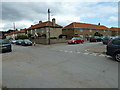
Junction of St Edmund's and Hotson Roads
Image: © Basher Eyre
Taken: 8 Aug 2010
0.01 miles
2
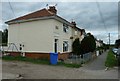
Junction of Hotson and St Edmund's Roads
Image: © Basher Eyre
Taken: 8 Aug 2010
0.02 miles
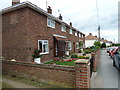
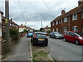
6
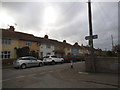
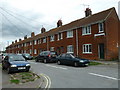
St Edmund's Road at the corner of Hotson Road
Image: © David Howard
Taken: 1 May 2017
0.03 miles
7
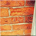
Cut Mark Southwold 16 St Edmunds Road
Cut Mark Southwold 16 St Edmunds Road SE angle, S face.
Image: © Cud05
Taken: 19 Dec 2016
0.04 miles
8
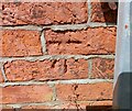
Southwold, 16 St Edmunds Road
The benchmark is cut into the south facing wall of the property.
Image: © Mel Towler
Taken: 4 Jul 2022
0.04 miles
9
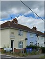
Southwold, 16 St Edmunds Road
There is a benchmark cut into the south facing wall of the property.
Image: © Mel Towler
Taken: 4 Jul 2022
0.04 miles